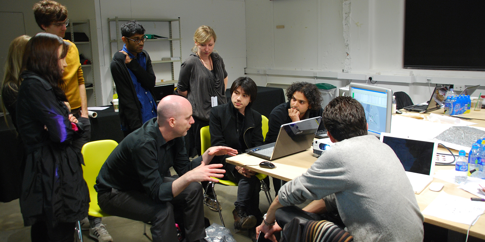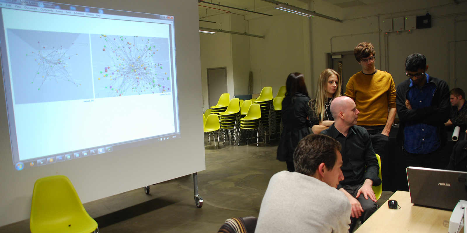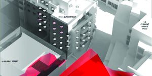

This research was undertaken as part of the 2013 Smart Geometry cluster, ‘Volatile Territories’. The cluster was run by Bruce Davidson, David Reeves and Elizabeth Tweedale. Over four days, the workshop explored speculative urban design solutions through the self-organisation of spatial boundaries within a set of hypothetical, yet measurable, political, economic and technological constructs.
Position
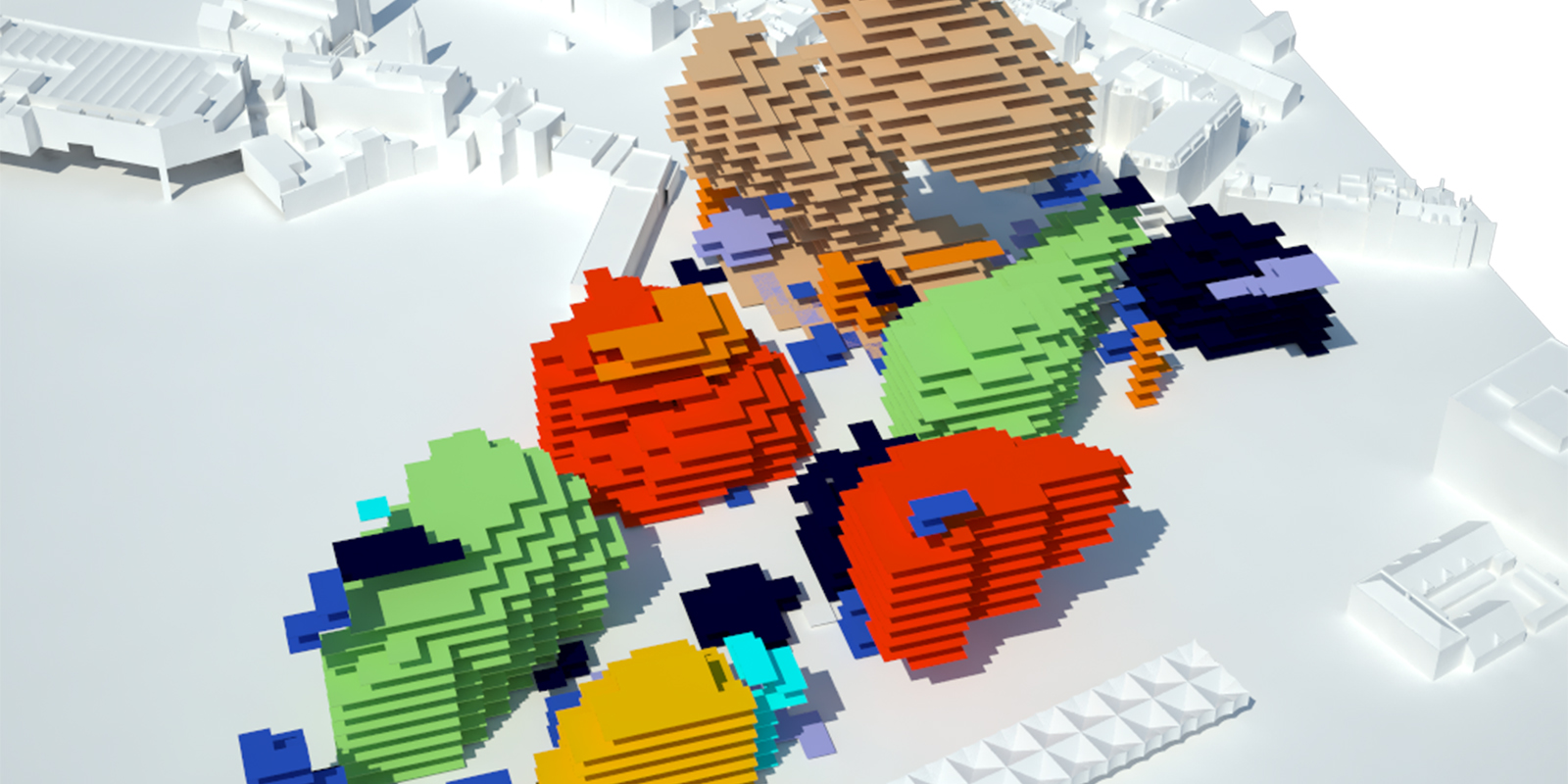
The cluster aimed to both understand, and model urban morphology as the emergent product of its internal information flows. Here, spatial territories were treated as autonomous entities expanding contracting, merging, and bifurcating relative to dynamic sets of contextual inputs. Because the rate at which urban organisation evolves is largely imperceptible, it is often attributed with a fictional sense of permanence. This cluster set out to debunk this illusion by accelerating the geologic time scale on which spatial (re)distribution plays out – effectively making visible the volatility of spatial territories.
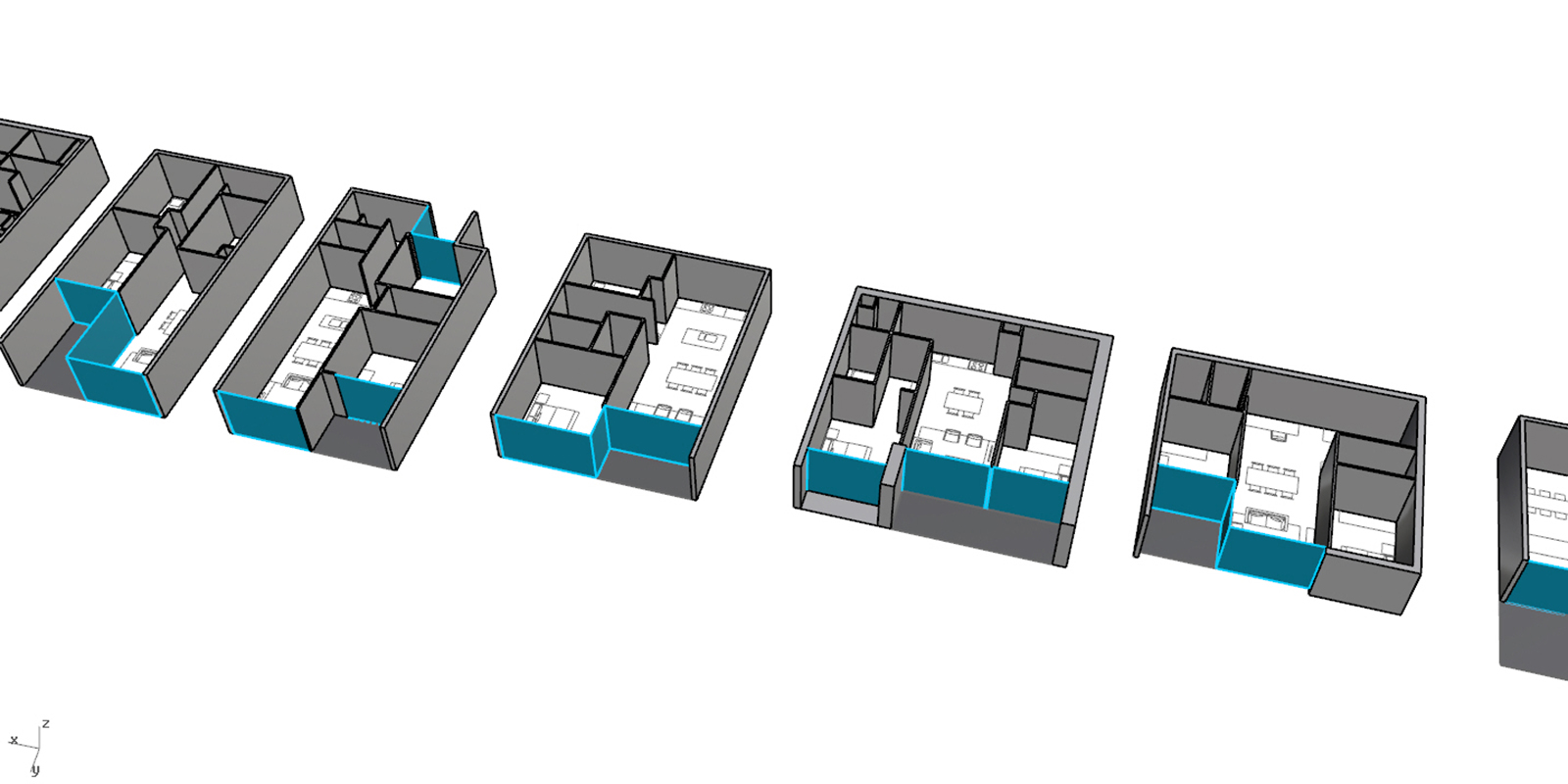
As such, the cluster was structured as a set of four increasingly distant forward-looking scenarios – each one presenting a hypothetical paradigmatic shift or ‘game-changer’. Using a current instance of the local urban condition as a starting point, the cluster speculated on the territorial consequences of each game changer through the use of provided bottom-up space planning software. With each new scenario, the disposition of spatial territories – the nature of their autonomous behaviours – are subject to change, potentially resulting in a dramatic reorganization of the collective urban fabric. Boundaries, those which delineate urban form by distinguishing one territory from another, are no longer understood as static but rather as momentary states of equilibrium within a complex dynamic system.
Outcomes